Map-Me
Welcome to West Yorkshire Flood Innovation Programme
The West Yorkshire Flood Innovation Programme is intended to make the region more resilient to flooding and climate change. The project is led by five local authorities, as well as a number of key partners including The Environment Agency and West Yorkshire Combined Authority, local stakeholders, academic partners, community based groups, Third Sector organisations and Yorkshire Water.
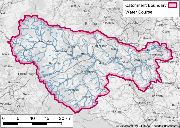
This survey relates to the Calder catchment, the extents of which are shown in red on the below map:

© 2011-2025 Jonny Huck